
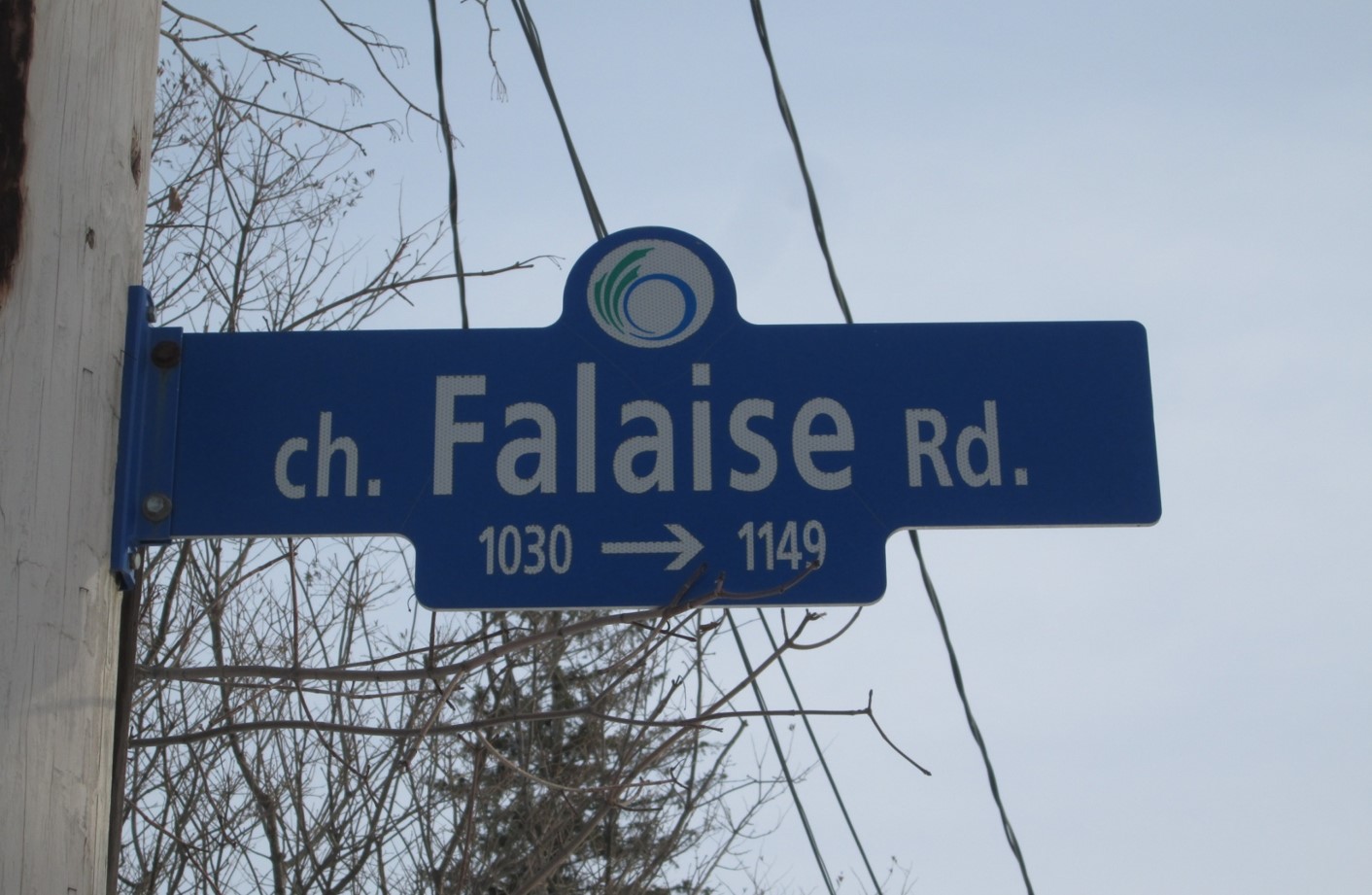
Falaise Road is dedicated to the Canadian troops who fought in the Battle of the Falaise Pocket. Falaise Road is located in the Carleton Heights – Rideau View neighbourhood of Ottawa. This area was developed in the mid-late 1940’s to house returning Second World War veterans and their families. Many streets in the area are named for famous battles and a nearby church was named to memorialize all Second World War veterans.
Falaise is a small French town, 35 km south of Caen, known for the battle of the “Falaise Pocket” during the Allied re-conquest of France (OPERATION OVERLORD) from August 12-21, 1944, in which two German armies were encircled and destroyed by the Allied armies. Some 10,000 German troops were killed and 50,000 taken prisoner. Much of the Falaise was destroyed before the town was taken by a combined force of Canadian and Polish troops. Falaise was largely restored after the war.