
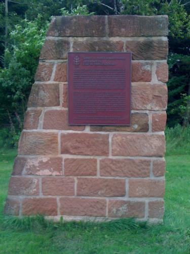
A monument in memory of Captain Samuel Holland, the surveyor who mapped the Island, and who laid out its lots and parishes between the years of 1764 and 1766. Holland has left behind a legacy, particularly in the Rocky Point, and Holland Cove region. Today, a solitary Island sandstone monument stands handsomely in an open patch of grass just up from his original campsite in Rocky Point, which bears his name and brief description of his expedition in 1764.
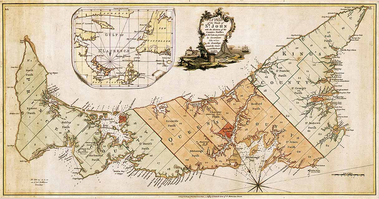
King George III appointed Captain Samuel Holland as Surveyor-General of British North America in 1764. Holland, who was a skilled surveyor and cartographer, was given the task of providing a detailed survey of the land and water ways of the Island. He was also responsible for noting the physical characteristics of the Island such as soil quality, timber, climate conditions, as well as animal and fish species’; all of which are pertinent to colonizing a new land. Captain Holland’s North American expedition was executed in 1764, with the first stop being Ile Saint Jean. The entire survey took the better part of two years to complete. After travelling around the entire Island with dog-teams of men and canoes, he was able to devise a map with utmost accuracy, displaying every river, stream, harbour and bay. He was notorious for dividing the Island into three counties, and 67 townships, each consisting of 20 000 acres.