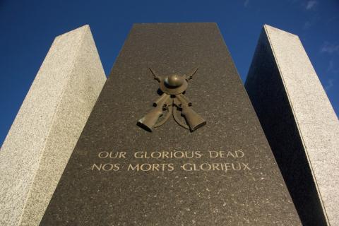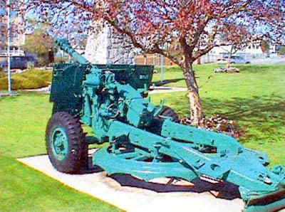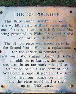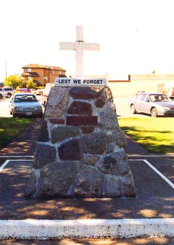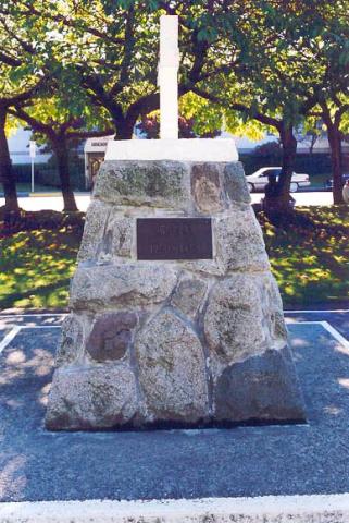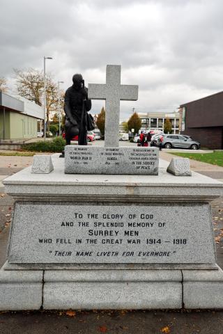
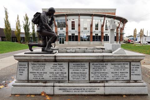
This memorial was originally erected to commemorate the local fallen of the First World War. Some were members of the 47th Battalion Canadian Expeditionary Force, C Company. A war trophy (German field gun captured by the 47th Battalion on September 27, 1918) was placed on top of the monument. When the captured the field gun was later chosen by the municipal designer, Clair Lemax, to become the centerpiece of the cenotaph, it instilled even more pride for the battalion. The gun was painted admiral grey, and had two small blocks of marble holding the wheels stationary, each decorated with a maple leaf. The curve granite chocks on either side of the granite cross were where the gun original rested. The memorial was dedicated on August 4, 1921, on the grounds of the then Surrey Municipal Hall located in Cloverdale. The total cost of the original memorial was $2,198.
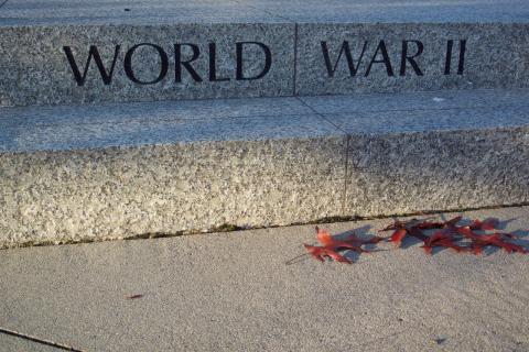
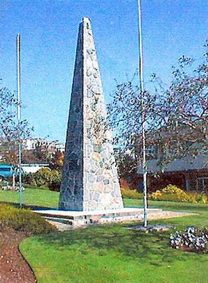
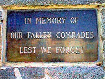
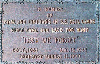
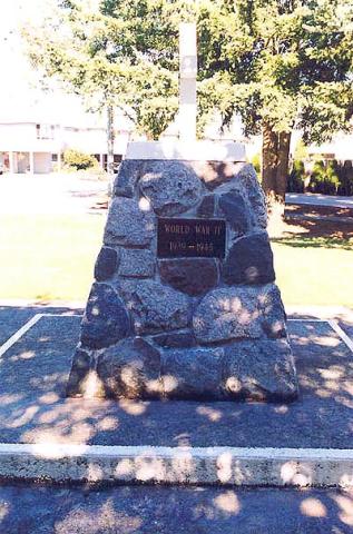
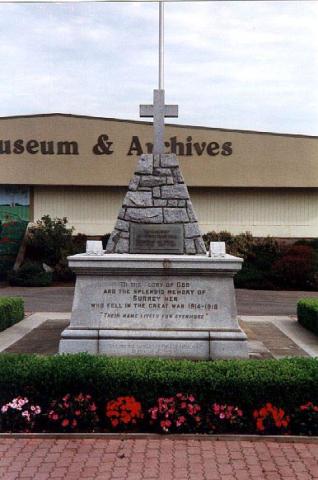
During the Second World War, the metal in the gun was melted down to help with the war effort and replaced with a pyramid stone structure. Later a bronze plaque was added on the West side of the stone and it was dedicated to those who died while serving in the Second World War and the Korean War. This bronze plaque measured 16 inches high and is 28 inches long.
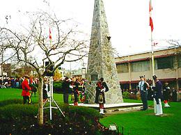
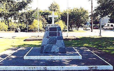
Surrey eventually became a city and the old Municipal hall was no longer large enough. When the new City Hall was built in the 1950s the memorial moved several blocks northwest outside of Shannon Hall. The memorial was relocated in 2004 due to a road-widening project and this presented the opportunity to not only restore the memorial, but to create a grander memorial. Local citizens and organizations donated the money to fund the project.
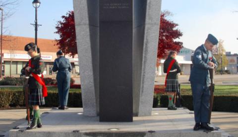
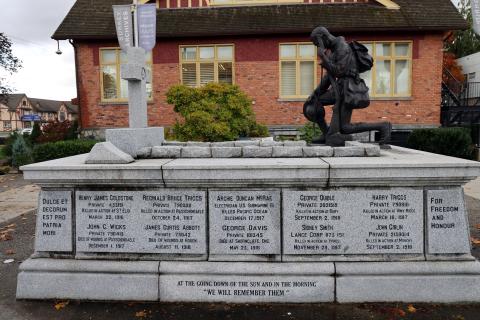
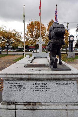
The original memorial was acid washed and the engraving restored. The entire memorial was placed on a larger base to accommodate the laying of wreaths. In 2005, the decision was made to return the cenotaph to near its original location near the then-new Surrey Museum. A Kneeling in Remembrance statue carved by Colonel André Gauthier from Ontario was installed for the 2006 Remembrance Day ceremony. Weighing over 600 lbs., the statue depicts a soldier kneeling with helmet in hand. The soldier bears the insignia of the 47th Battalion and is dressed in full battle kit.
Colonel Gauthier served a 37-year career in the Canadian Armed Forces before becoming a fulltime sculptor. He sculpted many statues and monuments that recognize the branches of the Canadian Armed Forces.