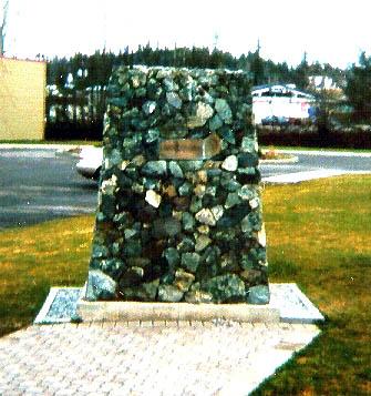
In the summer of 1973, five Legion members and friends made a trip of approximately 200 miles to get a cenotaph. With a donated truck, D4 cat and time, a 400-ton jade rock was loaded and brought to Fort St. James. The jade was placed in front of the Village Office and forms for cement placed. After the cement set, a diamond-faced circular saw was used to face the front. A lot of these bits were given to Legion members (and some stolen.) A bronze plaque is on front. Three flag poles are set in the cement behind the cenotaph. Flags are raised for November 11 and various other times of the year. The Cenotaph was dedicated April 21, 1979, by the Legion Padre. It was also the 15th anniversary, so all past and present Zone Commanders were present for the parade and dedication. In the summer, the cenotaph is surrounded by lawn and flowers.
Fort St. James Cenotaph
City/Municipality
Fort St. James
Memorial Number
59018-002
Type
Address
389 Stuart Drive West
Location
Spirit Square Park
in Canada
Yes
GPS Coordinates
54.4441774, -124.2581445
Submitted By
Margaret Howell
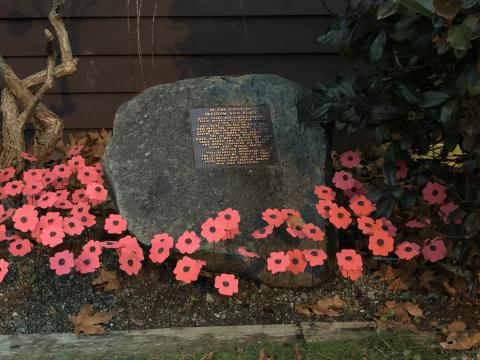
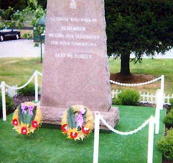
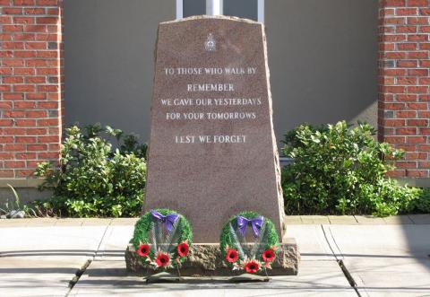
Inscription
IN REMEMBRANCE
OF OUR FALLEN COMRADES
LEST WE FORGET
Image
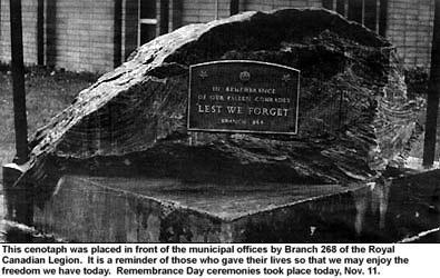
Photo Credit
Margaret Howell
Caption
Slab in front of municipal offices
1
of
4
images
Image
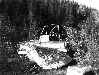
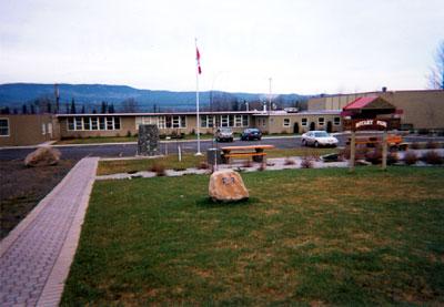
Caption
Bulldozer
1
of
4
images
Image
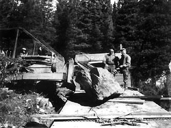
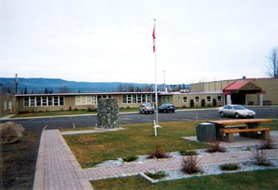
Caption
Legion members and friends
1
of
4
images
Image
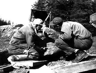
Caption
Legion members and friends
1
of
4
images
Province
!4v1621274442162!6m8!1m7!1slj-gnmvWbd6janp_2sPkEA!2m2!1d54.44417743924306!2d-124.2581444819551!3f197.33777502338532!4f-0.812778373229591!5f3.0408953035284245
Body Content
City
Fort St. James
Country
Display photo gallery on sidebar
Off
Type Description
Slab (jade rock)
Memorial CF Legacy ID
4796