
G-Box Navigation
Heroes Remember
G-Box Navigation
Transcript
Description
Mr. Wickens describes the use of the G-box for navigating.
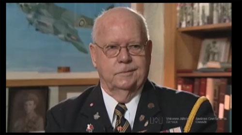
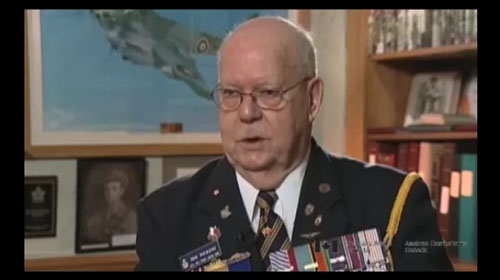
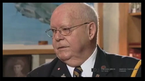
Donald Wickens
Mr. Wickens was born in Moosejaw, Saskatchewan. Despite the scarcity of jobs during the depression, he took employment with the Bank of Montreal, where he worked for two years prior to enlisting. Although not initially eager to do so, Mr. Wickens decided to join his friends who had preceded him into the service. Unlike many of his friends, however, he joined the Royal Canadian Air Force with the intention of becoming a navigator, and completed his training in Portage La Prairie. Once overseas, Mr. Wickens became a member of 434 Blue-Nose squadron and took part in 37 bombing and mine laying missions over Northern Europe. He and the rest of his aircrew were decorated after surviving two air attacks in which their aircraft was disabled. After leaving the service, Mr. Wickens returned to the Bank of Montreal. He currently resides in Prince Albert, Saskatchewan.
Meta Data
- Medium:
- Video
- Owner:
- Veterans Affairs Canada
- Duration:
- 4:30
- Person Interviewed:
- Donald Wickens
- War, Conflict or Mission:
- Second World War
- Branch:
- Air Force
- Units/Ship:
- 434 Squadron
- Rank:
- Flying Officer
- Occupation:
- Navigator


Related Videos
Bush Pilot
Mr. Wickens talks about an experience he had with a bush pilot during a stormy day of training.
Uncomfortable Voyage
The trip overseas took 14 days. Mr. Wickens talks about the trip and a tactic used by the captain of the ship he was on to get there safely.

Crew Friendly Aircraft
Mr. Wickens describes the ergonomics of Halifax bombers and the working positions of her crew.
Risky Practises
Mr. Wickens describes the “conversion” unit for training bomber pilots, and the risks faced by the aircrews.
Scared To Death
Mr. Wickens describes the stress of taking off in a bomber fully loaded with bombs.

A Sitting Duck
When the Germans “coned you” you were a sitting duck. Mr. Wickens explains why.
Bombing Hamburg - A Sickening Feeling
Mr. Wickens describes being ordered to bomb civilian targets in Hamburg, Germany, and the disgust of the crew at having to carry out the order

Caught By A Night Fighter
Mr. Wickens describes a nearly tragic bombing run over Germany’s V2 rocket sites

It Wasn’t Us
Mr. Wickens defends the results of his bombing mission at Falaise gap based on photographic evidence.
Awe Inspiring Sight
Mr. Wickens describes the beauty of the scenery from 20,000 feet up.
- Date modified: