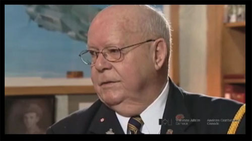
G-Box Navigation
Heroes Remember
G-Box Navigation
You see on the TV where the crews all meet and so on but prior
to that the navigators meet and they have the course,
courses plotted out for you, at least show you where you’re
supposed to go. So you take the meteorology forecast from the
winds and everything and you plot whatever courses your supposed
to fly. You don’t fly say, from, if you’re going to bomb a
certain place, you don’t fly straight there. They’d fly up this
way and down this way to try and throw the Germans off from
where that your target is, you see. So you maybe have two or
three different legs on your trip so you have to be at these
places at a certain length, at a certain time. We had a circular
side route which we used to call a computer and this was
converting miles to knots and temperatures, Fahrenheit to
centigrade and that sort of thing. Also then we had what they
called the G box and that was the biggest help for us. And how it
worked this is what I mentioned earlier, it looked like a TV set.
But there were two stations, one in northern Scotland and one in
southern England each transmitting a signal. This box would pick
up these two signals. So you’d turn on your machine and
you’d see two lines, two little blips. One running along each,
just like you see on these monitors in hospital. You see these
things running across, well these look just like we were
watching and the top blip was the signal from Scotland and the
bottom one, say was from England. Ok, these two blips, if you got
them together like that, once you got them together you’d what
they call, “freeze the machine.” You’d flip it down, freeze the
machine and take the time. Then immediately after you do that,
the numbers would appear along each of those lines. Ok, you got a
number for this one and a number for this one and then you had a
chart that spread out with the map of England on it and a bunch
of lines. The lines were circular lines from this station and
circular lines from this station and on those lines were numbers.
The numbers from the Scottish station were on the green deal and
the numbers from the English station were the red ones and
whatever numbers... so you’d follow those two numbers and that’s
where you were at the time you took. So those two things were
together, that’s where those two lines crossed. That was the
theory. That’s how it worked. So all of a sudden you got a fix.
You look on your map, “Oh, there we are.” So you take those
readings every so often so you’d plot an idea of how these winds
are going... whether they would change or not. If they stayed in
a line then you know you’re on the right course. That’s basically
how it worked. But it would only go so far because the Germans
would jam it. Once you got so far close to Germany you’d run out
because the stations were jammed. Then you were on your own.
Every plane was blacked out and you flew individually but in a
bunch and unfortunately what happened was there was lots of
collisions. Fortunately we, the odd time you felt a bump and
here that was the slip stream from somebody that’s just in front
of you. But you don’t see them because they’re blacked out.
So that was the... we flew individually. Say you got a thousand-
plane raid, everyone’s flying by themselves. In the American
runs in the daytime, of course, they flew in formation to protect
each other and they could see but we didn’t. We amazed them
when we dropped. We were diverted to their airdromes
sometimes and they couldn’t believe it. “Where’d you ...
how’d you people get here?” Just couldn’t believe it.
I said, “Well, it’s what we were trained for!”
And they weren’t. They couldn’t do it.
Related Videos
- Date modified:


